- HOME
- ⁄
- Wi-Fi connection point - The entrance to the starting point of trail up Mt Katamukisan
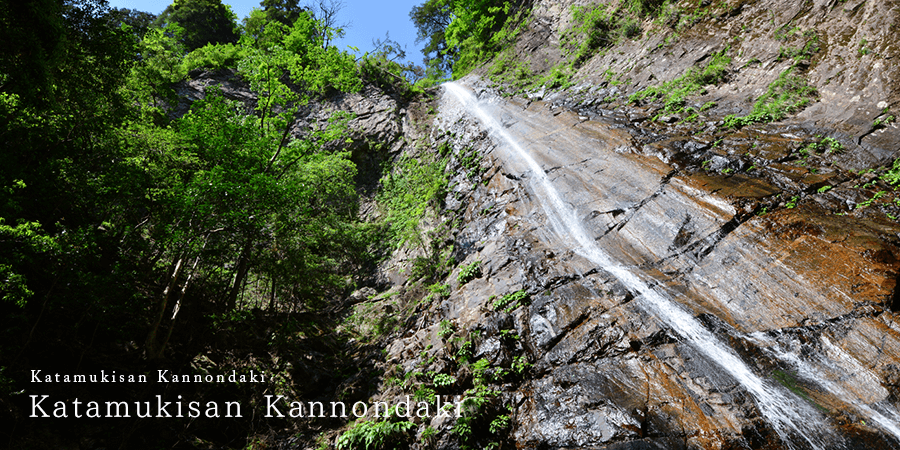
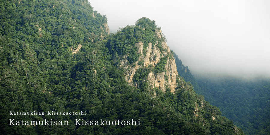
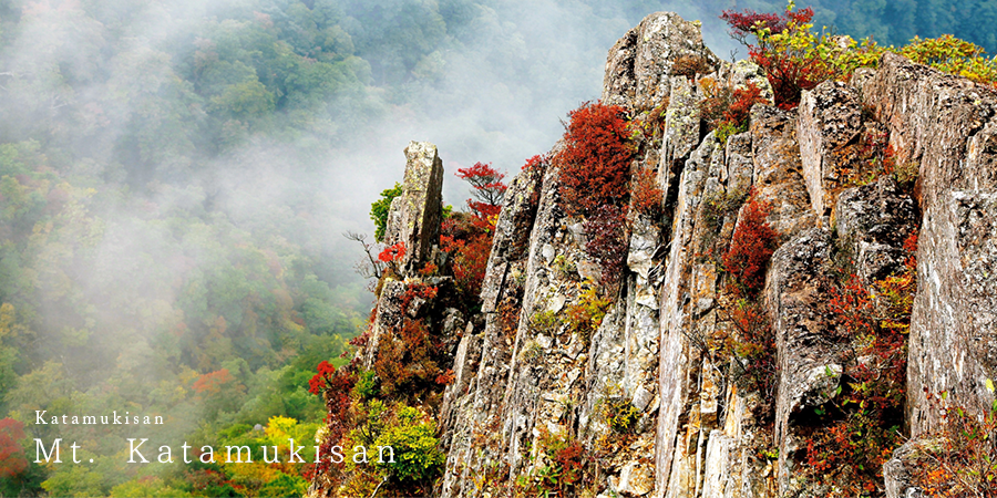
Mt. Katamuki has been specified Sobokatamuki national park. It is the 1,605m high mountain lies on the border between Oita and Miyazaki Prefecture. It is geo site of Oita Bungo-Ono Geo Park. The rocky peaks are so specific and Toyosaka mine ruins in there. You can learn geology and vegetation at same times.
It is valuable academic materials that this rare terrain can follow a geological volcanic history.
In addition, the place for the scene of old tale, "Yoshizukuri dropped” is located in the lower part of the area in the vicinity of the mountaintop.
Point Information
http://sobokatamuki-br-council.org/

The Sobo Katamuki Okue Unesco Eco Park is aimed at harmonizing the preservation of ecosystems and sustainable utilization, where the Sobo Katamuki Okue Mountains, thatextend between Oita and Miyazaki prefectures, contains 6 cities in which the Ono river and Gokase river make up the Ono river system. The Sobo Katamuki Okue mountain range has steep mountainous topography with untouched forests, beautiful valleys, and an exquisite variety of diverse species of life such as the Japanese wild goat and Japanese giant salamander.